
3-Day Boundary Country Road Trip
Discover Boundary Country! This region is situated on the traditional, ancestral, and unceded territory of several First Nations, such as the Ktunaxa (‘k-too-nah-ha’), Sinixt (‘sin-EYE-ch-kiss-ta’), the Syilx Okanagan Nation, and others – all of which whose history and sacred connection to this land dates back thousands of years.
Explore the captivating nature, Indigenous heritage, and rich history of this four-season region. Travelling from the Lower Mainland, head east along Highway 1 to embark on this thrilling experience in the heart of Boundary.
Day #1: Hope – Cascade Lookout – Bridesville
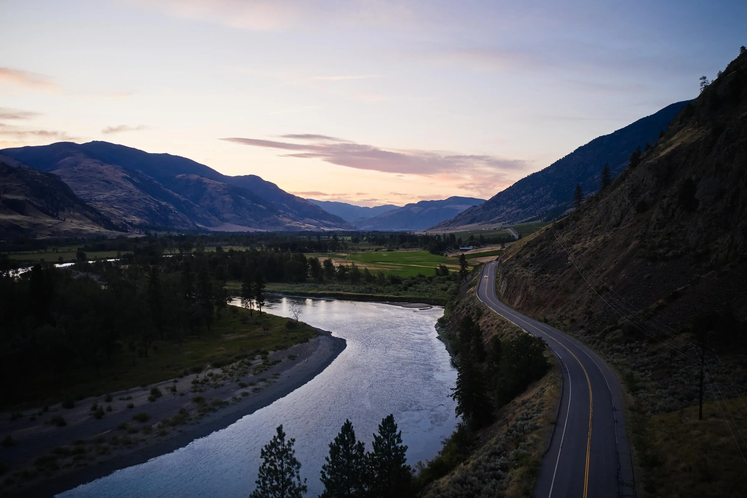
From Rainforest to Rockies! This route takes you through temperate rainforests, striking mountain passes, and sun-baked ranchlands. Let the breathtaking sights guide you through on this winding journey ahead.
Hope
Travel east on Highway 1 until you reach “The Gateway to British Columbia’s Interior”: the scenic town of Hope. While often seen as a mere passing town to many travellers, this charming community deserves a closer look. Park along Wallace Street near Memorial Park to stretch your legs and wander around; admire the local artistry, charming boutique shops, and cozy eateries – all while taking in the sweeping mountain views.
The District of Hope stands on the site of Ts’qo:ls (‘ts-khalll-s’). For thousands of years, this Stó:lo (‘STALL-oh’) village was a major trade and transportation hub for various indigenous nations to connect with each other.
Recently in April 2026, Adam Sandler was spotted here filming Time Out with Willem Dafoe. The picturesque essence of Hope makes it a popular location for big film productions – but none more iconic than the 1982 Rambo classic, First Blood. Keep an eye out for the numerous nods to Rambo with town monuments, and businesses like Silver Chalice Pub and Mountainview Brewing crafting Rambo-inspired menu items.
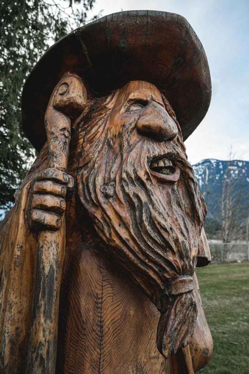
Speaking of monuments, Hope boasts a vibrant arts scene. Grab an Art Walk map at the Visitor Centre or download it ahead of time to explore an open-air gallery. Talented local artists have filled nearly every downtown corner with uniquely hand-carved wooden sculptures and art installations.
Cascade Lookout
Continuing east, hop onto Crowsnest Highway 3 right off Hope, where coastal rainforest meets the semi-arid interior. The drive up to Cascade Lookout at Manning Park is a brief, easily accessible detour towards one of the most breathtaking viewpoints of this trip – no hiking required!
Take in the dramatic peaks and dense forests of the valley under an open sky. Fans of wildlife can expect to spot a variety of interesting small mammals and iconic bird species. There is also a geocache accessible in the summer and fall seasons.
Traditionally, Manning Park was a gathering place for mainly the Stó:lo and Similkameen people to fish, hunt, and trade. Many of the trails that run through the area were vital travel and trading routes for these communities.
Bridesville
Boundary Country welcomes you at last! Check in to the Arosa Ranch just outside Bridesville and settle in for the evening.
The ranch offers accommodations for a variety of styles and budgets: For guaranteed comfort and some rustic-luxury, guest suites and cabins are available. If you seek a more classic camping experience, the ranch features RV hookups and tent campsites as well. Enjoy access to outdoor dining, forest trails, hot showers, a swimming pool, fishing, lakeside lounging, and lawn games.
Fire up one of the shared barbecues outside and end the long day with a refreshing dip in the lake!
Day #2: Kettle River
Embrace a slow morning; greet the resident chickens and horses before heading out for a day of lounging by the river, then returning to the ranch with time to spare.
Rock Creek
Head 27km east of the ranch to Rock Creek Trading Post & Cafe. Enjoy a warm breakfast at this charming cafe, known for its in-house coffee and freshly made soups and sandwiches. Don’t forget to grab one of their toasted cinnamon buns - fresh out of the oven to enjoy on the riverside!
The Kettle River Recreation Area is located 7.9km north from the cafe, about an 8 minute drive. The river's clear, warm water makes for one of the most iconic destinations in the area, including a swimming hole on the north end of the site. Take your time and spend the rest of your day here.
While the water may be the main attraction, it’s only a glimpse of what variety the area has to offer for all ages and fitness levels. Cycling enthusiasts can take advantage of the site’s bike park or follow the historic KVR Trail along the river. If you prefer to adventure on foot, this trek straight from the campground to Flags rewards hikers with a gorgeous overview of the valley. For a gentler pace, bask in the tranquil scenery with a flat riverside stroll, or relax on the sandy shores.
Day #3: Midway - Greenwood - Grand Forks - Christina Lake
Today’s agenda covers more ground, but maintains a leisurely rhythm for discovery and thoughtful reflection.
Midway
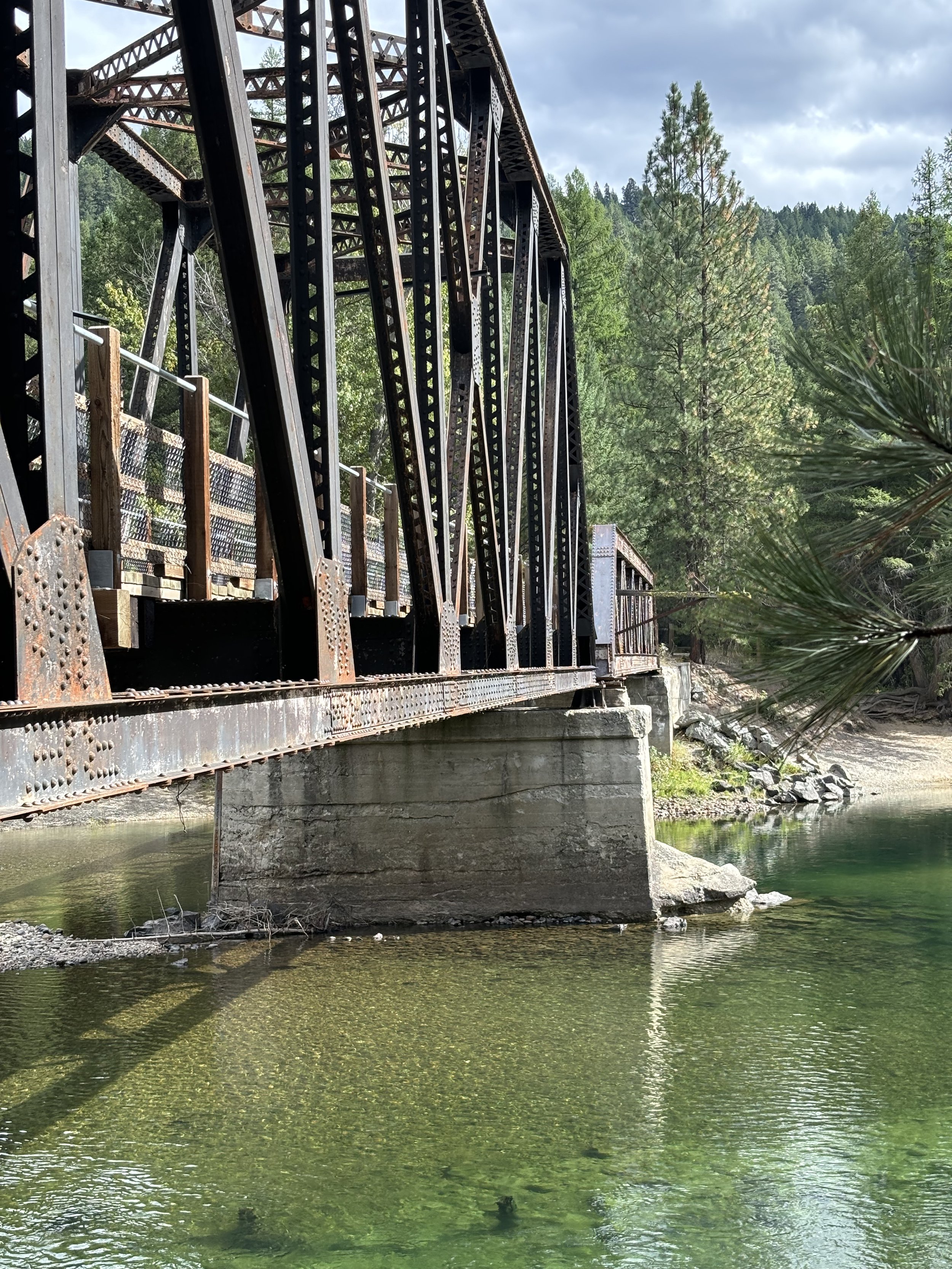
Midway is officially Mile 0 of the Kettle Valley Rail Trail. The town’s Visitor Centre is located at the Kettle River Museum, where you can also learn about the rail history, view artifacts, and climb aboard a fully restored Canadian Pacific Railway caboose.
Greenwood
Greenwood is Canada's smallest city, a status only held today thanks to its population boom back in 1897. Its prospering economy was short-lived however; by the end of WWI, copper prices collapsed, and the population hollowed-out to only a few hundred residents. Seeking to revive its failing economy, the town became enlisted as Canada’s first Japanese internment camp in 1942 – where 1,200 uprooted Japanese-Canadians (Nikkei) were relocated.
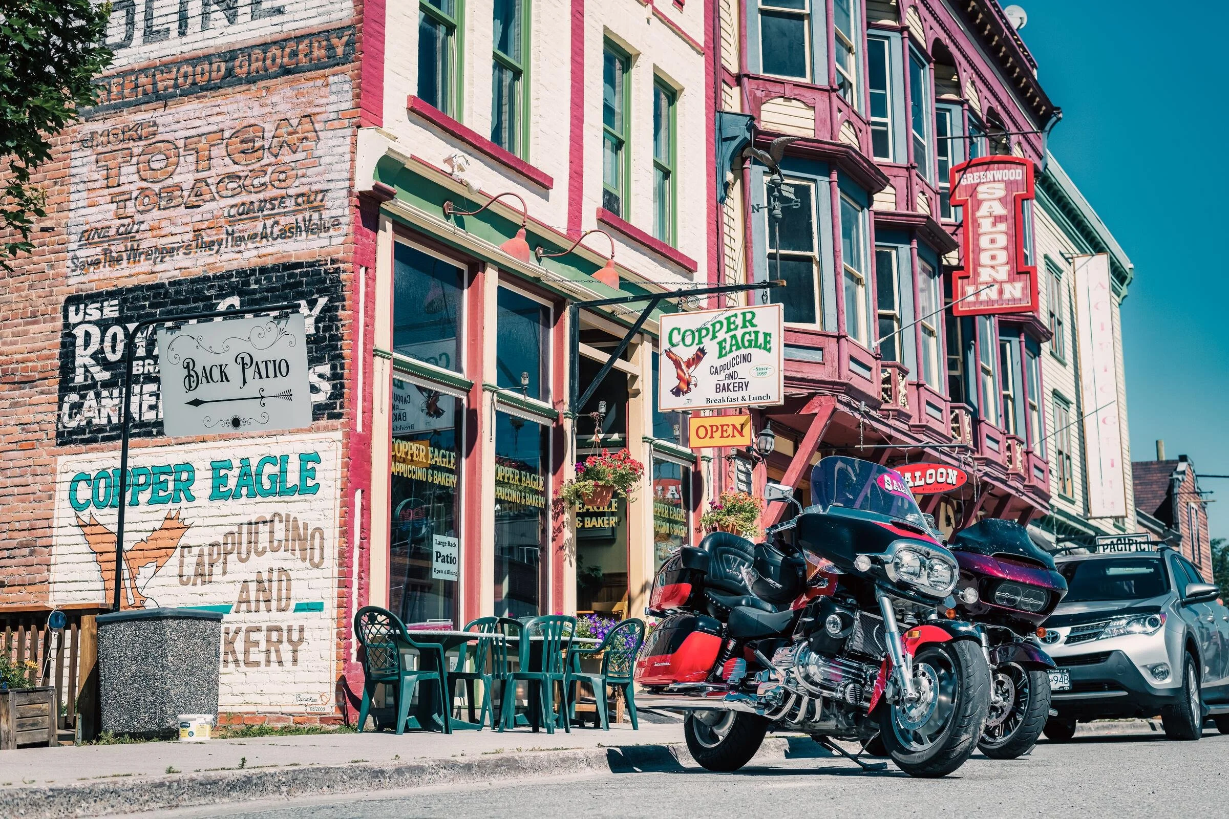
Many families remained after internment orders ended in 1949; despite the hardships of incarceration, the Nikkei have built a vibrant community with Greenwood locals. Today, the ups-and-downs of this town’s history is well-preserved through its 1890s boomtown architecture, the Greenwood Museum and Visitor Centre, and Nikkei Legacy Park.
For more mining boom history, see the ghost towns of Phoenix and Deadwood, located up to 31km past Greenwood.
Grand Forks
Grand Forks, affectionately known as Nk'mmtsin by the Sinixt peoples, is the largest small community in Boundary Country.
If your visit falls on a Tuesday or Friday, swing by the Grand Forks Farmers' Market at Gyro Park downtown, running 8am–1pm from May through October. Local farms, orchards, and bakeries are set up alongside artisans and the occasional food truck, so it's an easy way to pick up something fresh before continuing your day.
Afterward, tour the Boundary Museum & Archives to view artifacts at the intersection of Sinixt, Doukhobor, and early mining settlement history, or catch a show at the Historic Gem Theatre, a downtown performing arts hub since 1913.
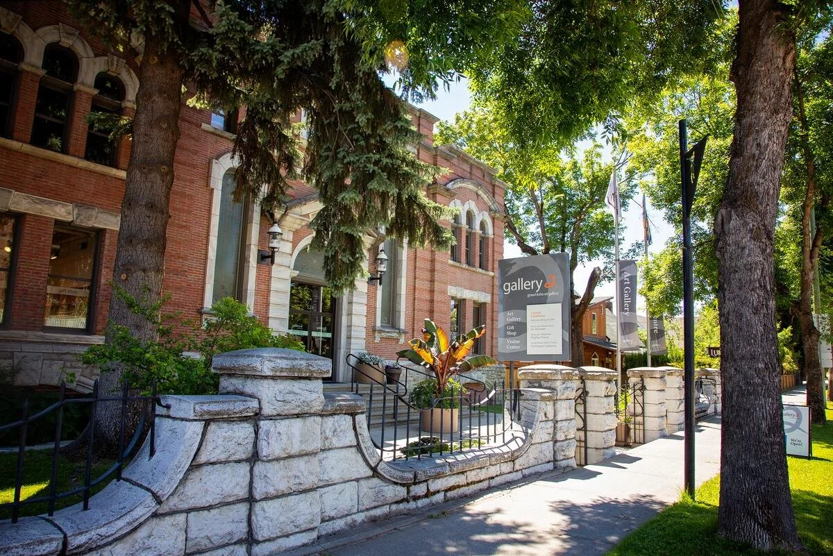
For a deeper look into the region's tight-knit art scene, visit the Grand Forks Art Gallery, Boundary Country's premier art museum. Housed in a heritage 1911 courthouse downtown, it features rotating exhibits by local artists across several gallery spaces, plus a gift shop of regional crafts.
Christina Lake
Consistently ranked among the warmest lakes in BC, a swim at Christina Lake is a perfect way to finish up your final day before heading back to the ranch.
For the Sinixt, Christina Lake held deep spiritual and practical value as a hunting and fishing location. People who come to pray, hunt, or fish would offer gratitude to the land for providing everything needed for their success here.
[Bonus] Day #4: Keremeos – Bridal Veil Falls
As your stay in Boundary Country comes to a close, adventure isn't over just yet. This bonus itinerary on the westward drive back features the vibrant orchards of the Similkameen valley, and then a quick leg-stretcher at Bridal Veil falls before the final push home.
Keremeos
From Arosa Ranch, head west along Crowsnest Highway 3 until you reach the Village of Keremeos – the “Fruit Stand Capital of Canada”. Keremeos’s name likely stems from a Nsyilxcən (‘in-seelh-chin’) phrase meaning “meeting of the four winds”.
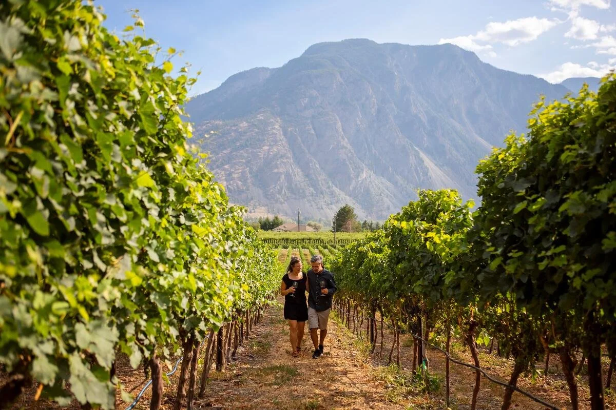
Thanks to the land’s abundance of fruit, the Keremeos area boasts unique experiences to excite any wine enthusiasts and foodies out there.
Fun fact: The now world-famous Ambrosia apple was discovered nearby as a chance seedling by the Mennell family in 1987.
Uneclipsed by the Okanagan Valley – the vibrance and rustic originality of the Similkameen’s wine scene is unique. For an immersive experience, budget a day or two for the self-guided Sip the Similkameen Trail, which pairs perfectly with the Similkameen Valley Farm Trail. Combined, you’ll quickly gain a deep insight into the agricultural community through all the family farms in this journey.
Bridal Veil Falls
About ⅔ of the way back home, stretch your legs with a short and sweet 10 minute hike to the base of Bridal Veil Falls located along Highway 1.
This provincial park is located within the site of Popkum (‘pop-kwum’), the Indigenous village of the Stó:lo.
Fun fact: Popkum is a Halq'eméylem (‘halk-uh-may-lum’) word that translates to "puff ball," referencing the type of mushroom that grows abundantly in the surrounding damp forests.
